 |
||||||||||||||||
|
|||||||
|
|
||||||
|
 |
|
|||||
|
|
||||||
|
|||||||
|
|||||||
|
|||||||
|
|||||||
 |
||
 |
|||||||||||||||||||||||||
 |
 |
||||||||||||||||||||||||
 |
|||||||||||||||||||||||||
 |
|||||||||||||||||||||||||
 |
|||||||||||||||||||||||||
 |
|||||||||||||||||||||||||
 |
|||||||||||||||||||||||||
 |
|||||||||||||||||||||||||
 |
|||||||||||||||||||||||||
 |
|||||||||||||||||||||||||
 |
|||||||||||||||||||||||||
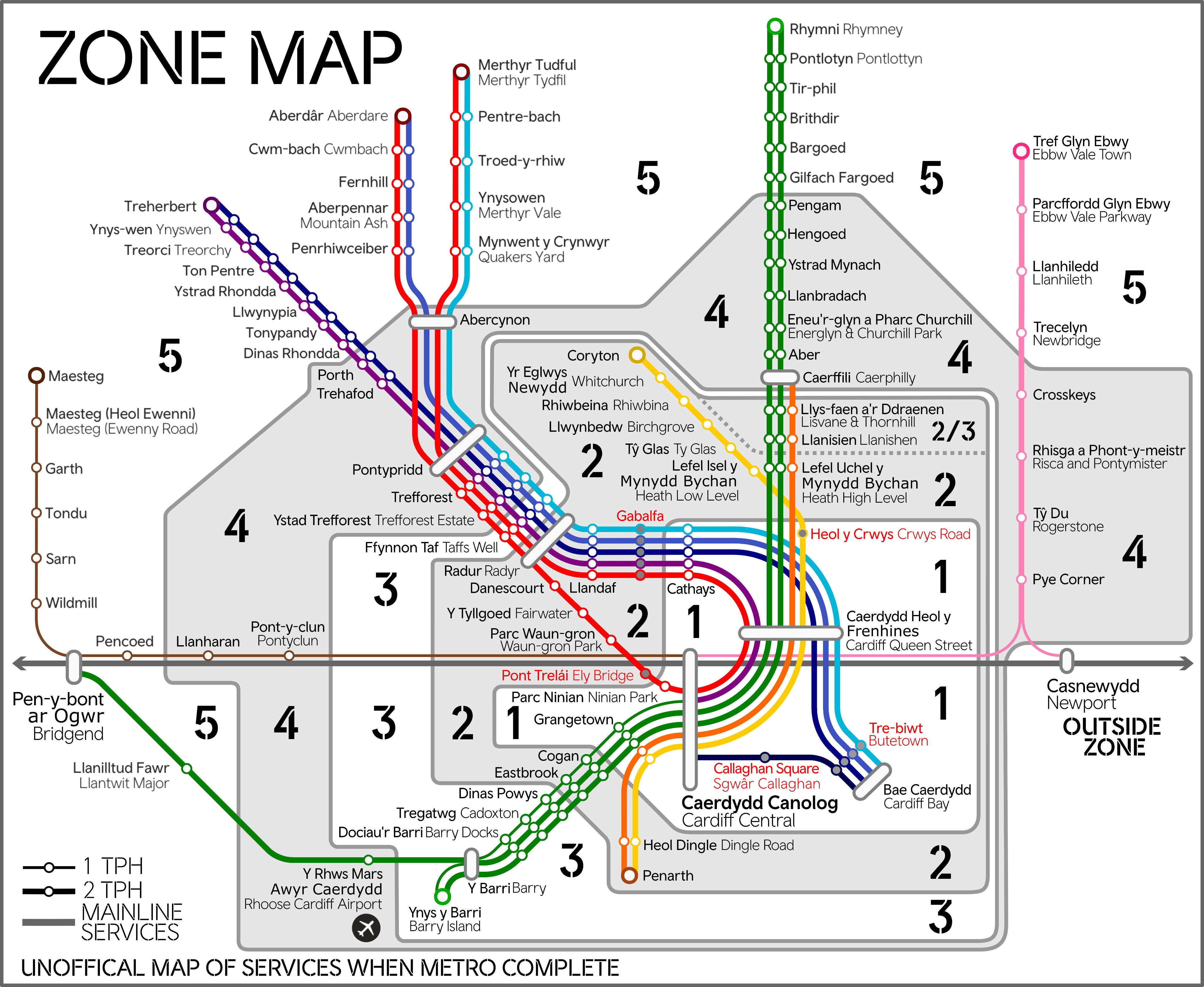
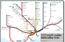
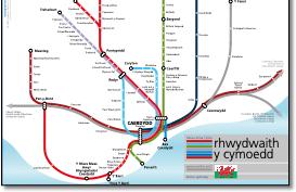
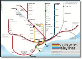
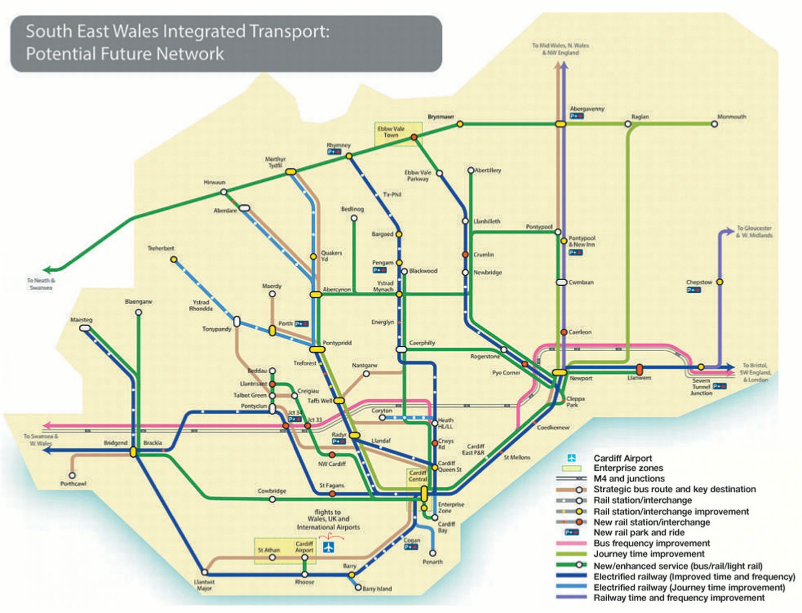
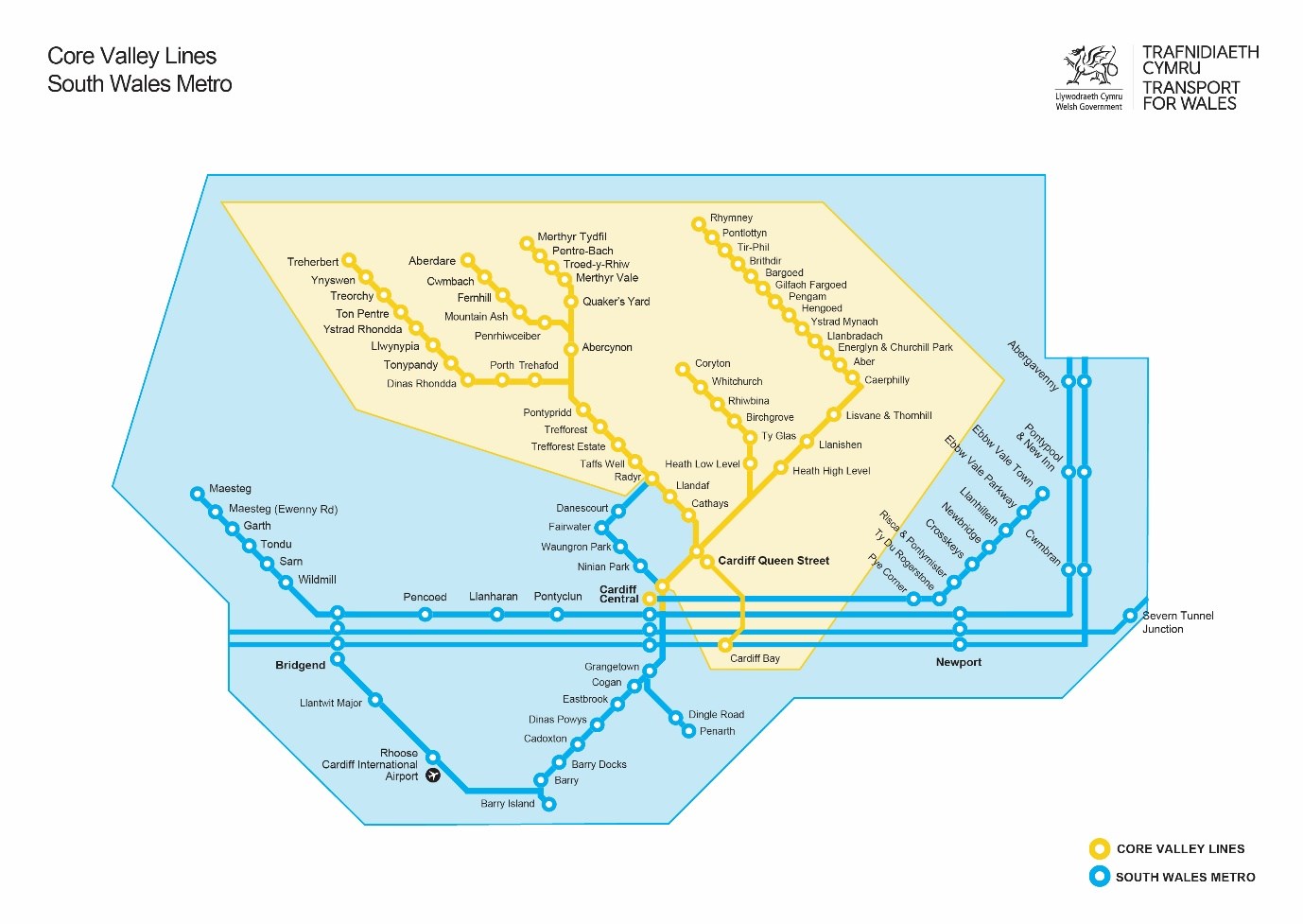
Keeps Cardiff central on the map and uses softer curves to describe the main lines and sharper curves for the valleys network. English language and welsh language versions. |
|||||||||||||||||||||||||
 |
|||||||||||||||||||||||||
 |
|||||||||||||||||||||||||
 |
|||||||||||||||||||||||||
.jpg) |
|||||||||||||||||||||||||
.jpg) |
 |
||||||||||||||||||||||||
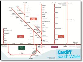
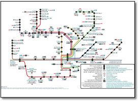
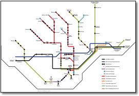
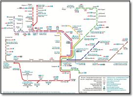
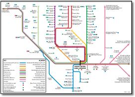
Geographic map including some freight only lines. |
|||||||||||||||||||||||||
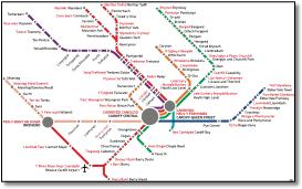
Quite a good looking map with an interesting solution to station importance, or in this case, terminal or through stations. The zones are missing, but this is probably the way the map was supplied to Today's Railways magazine (May 2008). Running the Queen Street lines into the north side of the layout at Central may have reduced the number of lines crossing the South Wales main line, but it is not what you see out of the window. Also a shame that the orientation of the valley lines is lost, a square format may have enabled Pontypridd and Rhymney lines to run vertically. The distortion south of Central is also a bit sad. And there's one non-45º angle at Llantwit Major. Port talbot with a small t. Its been there since 2005, see below. Lower-case l at beginning of Lefel Uchel y Mynydd Bychan. |
|||||||||||||||||||||||||
 |
|||||||||||||||||||||||||
 |
|||||||||||||||||||||||||
 |
|||||||||||||||||||||||||
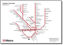
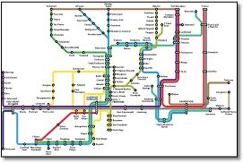
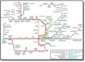
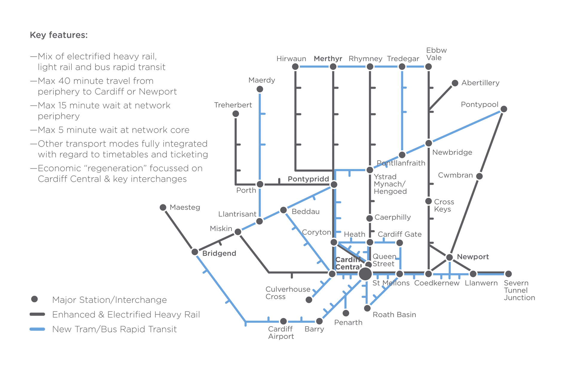
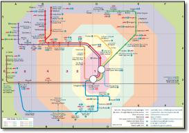
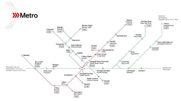
Although pre-Ebbw Vale reopening, the valley lines are all north facing. FWT have used the London tube map system of overlapping ticks for stations that serve more than one route, and whilst logical and quite pretty, is a bit 'harlequinesque' at, for example, Queen Street. As a result there is only one station symbol, possibly good, but different to most other maps which have a distinct interchange symbol. |
|||||||||||||||||||||||||
 |
 |
||||||||||
.jpg) |
|||||||||||
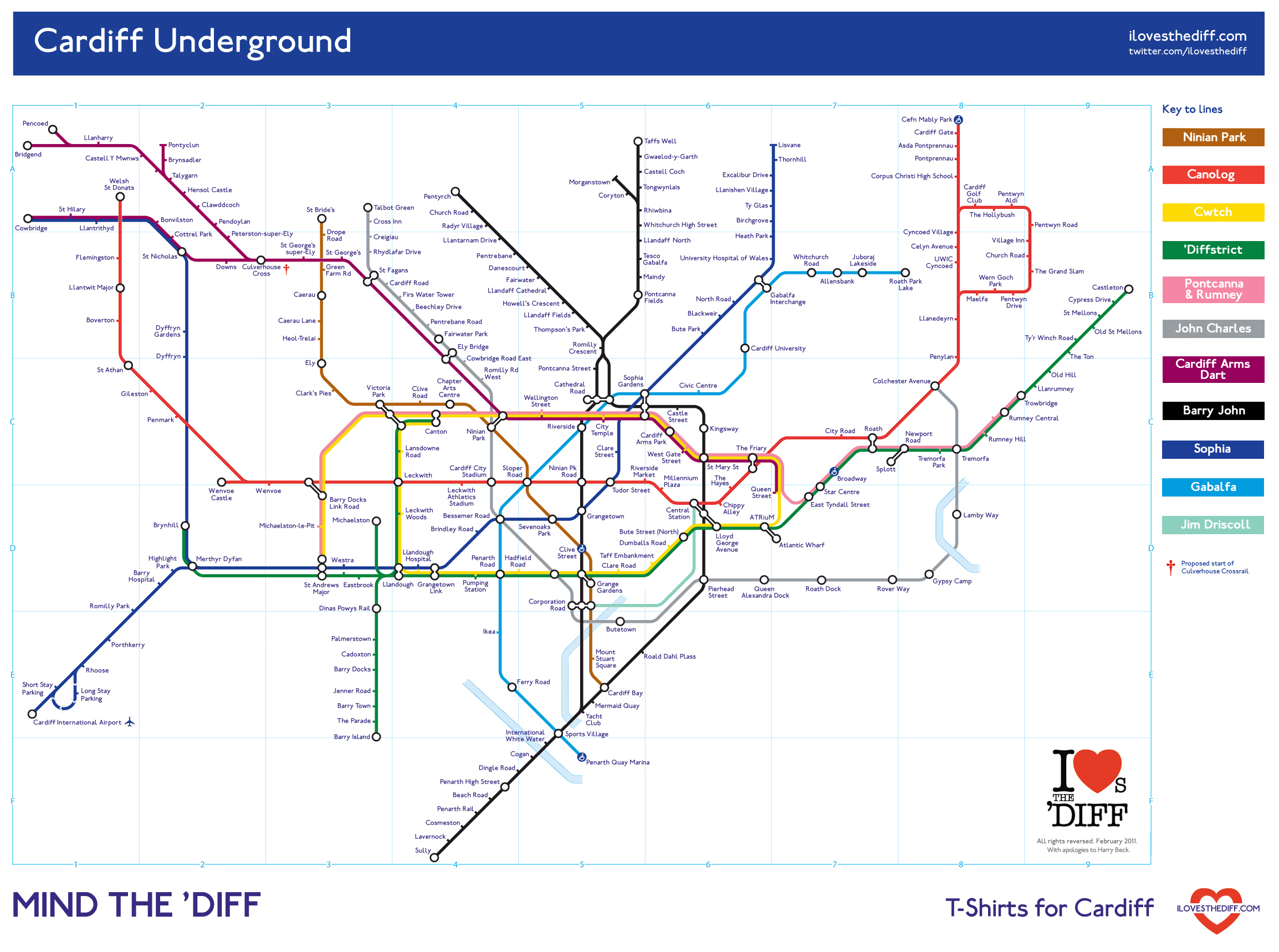
The so-called 'standardised mapping' being promulgated on Wikipedia just goes to show that there can't be one solution to interpret networks. |
|||||||||||
 |
 |
||||||||||